

What if potholes are the least of our problems?
For years, the condition of the UK road network has been reduced to a single, visible symptom: the pothole. With the right equipment, they are easy to photograph, easy to report and politically hard to ignore. But while attention remains fixed on surface defects, other risks are quietly compounding; blocked gullies before a storm, overgrown verges obscuring sightlines, damaged barriers, fading markings, weakened edges on rural lanes.
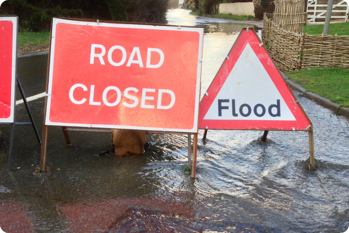
Recent UK storms and flooding have exposed weaknesses in our ageing road network. As the UK road network faces heavier rainfall, tighter budgets and rising public expectation, the real question for highway authorities is not “How many potholes do we have?” — but “What are we not seeing?”
An Ageing Network Under Growing Pressure
The structural challenge is well documented. The Asphalt Industry Alliance has warned that
“…over half of England and Wales’ local roads have 15 years or less of structural life remaining…”
…with a repair backlog estimated at more than £16 billion. Meanwhile, only a small proportion of the 183,000-mile local road network receives structural maintenance each year.
At the same time, extreme weather is intensifying the strain. Recent winters have brought repeated freeze–thaw cycles and significant rainfall events. Earlier this year, Somerset Council reported thousands of highway defects following severe flooding, alongside a 60 – 70% increase in pothole formation compared to previous years. Rural networks, often built on weaker subgrades and serving agricultural and heavy goods traffic, are particularly vulnerable. The Council also saw 60 – 70% more potholes this winter than in previous years – an extra cost of about £1 million before even repairing the submerged roads.
Floodwater does not just create potholes. It saturates foundations, undermines verges, overwhelms drainage systems and damages barriers. By the time surface failure becomes visible, the underlying asset may already be compromised.
113,900 km of roads — around 38% of the road network — are in areas at risk of flooding from rivers, the sea, or surface water. (Environment Agency, 2025)
This is no longer simply a maintenance issue. It is a data issue.
When budgets are constrained and workloads are rising, understanding only the most visible defects is no longer enough. To manage an ageing, climate-stressed network effectively, authorities need a broader, more continuous picture of asset condition — one that captures early warning signs across drainage, verges, markings and safety infrastructure, not just surface failure. Wider datasets will become critical to reducing reactive spend, prioritising intervention and building resilience into the network before deterioration accelerates beyond control.
The Limits of a Narrow View
Traditional road inspection regimes were designed for a different era. One with lower traffic volumes and slower deterioration cycles. Even where digital tools have been introduced, today many systems still focus narrowly on a single outcome: identifying potholes and surface cracks.
A blocked gully, an eroding verge, a faded centreline, a damaged sign or a compromised barrier — these are leading indicators. They provide early warning signals about safety risk, drainage failure, asset degradation and potential claims exposure.
But a pothole is a lagging indicator. It tells you something has already gone wrong. With recent flooding and rapid road deterioration becoming almost an annual occurrence, things need to change for councils to keep up.
When monitoring programmes concentrate on a single defect type, authorities lose the opportunity to understand how interconnected these issues are. For example:
- Standing water may indicate a blocked drainage asset rather than surface failure
- Edge cracking on rural roads may reflect verge instability
- Repeated pothole repairs on the same stretch may signal deeper structural fatigue.
- Faded markings can undermine safety long before surface condition fails.
Without broader, structured data capture, these patterns remain hidden and the same sections of network are treated repeatedly without addressing the underlying cause. Yes, proactive maintenance ultimately remains the strategic ambition of all local authorities, yet operational reality often forces councils into reactive cycles.
The shift requires more than intent; it requires visibility. With the right breadth and consistency of data, authorities can move beyond short-term patching toward long-term resilience, understanding not just where failure has occurred, but why it is happening and how to prevent it. Here’s a look at how…
From Single Defects to System-Level Insight
The conversation is shifting from isolated defect detection to network intelligence, and quite rightly.
Modern AI-powered monitoring systems are capable of capturing far more than surface condition alone. Dedicated hardware installed in operational vehicles (such as Route Reports’ dedicated AI road monitoring devices) can now continuously record high-definition imagery and sensor data across the network, analysing it automatically using computer vision.
The difference is not just in what is captured - but in how consistently and robustly it is captured.
Purpose-built devices provide standardised camera positioning, calibrated sensors and consistent data quality across fleets. This avoids the variability associated with consumer-grade mobile devices, where hardware differences, mounting angles and manual operation can compromise accuracy and repeatability.
Automated capture ensures coverage is continuous rather than periodic, eliminating the delays and resource demands of one-off surveys that can be outdated before action is even taken. With AI-driven, autonomous road monitoring, every routine journey becomes a live survey opportunity. Every mile travelled contributes to an expanding, structured dataset of network condition; not months old, but current, accessible and ready to inform decisions in real time.
What’s even more powerful is that when that dataset extends beyond potholes, its value multiplies.
AI systems can now detect and categorise:
- Surface cracks, rutting and potholes
- Road marking wear and reflectivity loss
- Signage damage or obstruction
- Vegetation encroachment
- Verge deterioration
- Drainage indicators such as standing water
- Barrier and street furniture defects
This creates something far more powerful than a defect list. It creates a living, visual inventory of the highway network.
Why Wider Datasets Change Decision-Making
Broader datasets enable authorities to move from reactive response (the current norm) to predictive planning (the strategic aim.)
Instead of responding to resident and public reports after failure occurs, local authority and council teams can identify trends:
- Are certain routes repeatedly showing early-stage cracking?
- Are drainage issues clustering in particular geographies?
- Are verge failures correlating with heavy vehicle routes?
- Are markings degrading faster in high-traffic corridors?
When defect data is timestamped, geolocated and captured at high frequency, deterioration rates can be tracked over time. That supports more accurate lifecycle modelling, better capital planning and more defensible funding bids.
It also strengthens transparency. With detailed imagery and structured reporting, authorities can evidence inspection regimes, demonstrate proactive risk management and reduce exposure to claims. A hugely important part of transparency and audit trails.
Crucially, this approach aligns with the increasing expectation for data-driven asset management across public infrastructure. Highways simply cannot remain an analogue outlier.
Flooding: A Case Study in Data Blind Spots
Flooding illustrates why wider datasets matter. Heavy rainfall events are increasing in frequency and intensity across the UK. When water accumulates on carriageways, it is often a symptom of blocked drainage, inadequate capacity or poorly maintained assets, not just surface wear.
If monitoring systems focus only on identifying potholes, the early warning signs of drainage stress are missed. But if imagery and AI analysis detect persistent standing water, blocked gullies or verge washout, intervention can occur before structural damage escalates. Over time, combining surface condition data with drainage indicators builds a more holistic understanding of resilience across the network. That is the powerful and positive move forward: from treating visible symptoms to understanding underlying systems.
The Strategic Opportunity
The UK road network faces structural ageing, climate pressure and constrained funding. Meeting these challenges requires more than patch repairs. It requires better intelligence. But, data is only valuable if it is trusted.
Accuracy, Automation and Trust
Data is only powerful if it is reliable. In an environment where funding decisions are scrutinised and public accountability is high, confidence in the integrity of information is essential.
Automated, dedicated monitoring solutions provide repeatable, auditable outputs — removing subjectivity and inconsistency from the inspection process.
- High-definition imagery is captured and processed consistently, with defect classifications standardised across the network.
- Real-time uploads ensure decision-makers are working with current intelligence, not surveys that are months out of date.
- Integration with asset management platforms streamlines workflows, reduces manual input and accelerates inspection and reporting cycles.
The result is not simply faster reporting, but a stronger evidential foundation for investment planning, risk management and public transparency.
Better Decision Making & Faster Reporting
When data is live, structured and comprehensive, decision-making improves. Authorities can prioritise interventions based on risk rather than visibility, allocate resources more efficiently, and demonstrate clear rationale behind maintenance strategies.
Capturing a wider dataset — not just potholes, but drainage, verges, barriers, markings and signage — transforms how network condition is understood. It connects surface defects to underlying causes and supports more informed, strategic investment.
Preventative Maintenance
Next-generation monitoring is shifting the conversation from defect response to network foresight. AI-driven, automated systems make it possible to turn routine vehicle movements into continuous, actionable intelligence — building a live picture of infrastructure health across the entire network.
This is not simply about identifying defects more quickly. It is about identifying deterioration earlier, understanding patterns across interconnected assets, and intervening before failure escalates. When drainage stress, verge instability, surface fatigue and safety asset degradation are visible in real time, maintenance strategies can move beyond reactive cycles toward planned resilience.
The future of highways management will not be defined by how quickly potholes are filled. It will be defined by how effectively failure is anticipated, prioritised and prevented — using broader, trusted datasets to manage strain before it becomes crisis.
Turning Insight into Action
The move from reactive repair to preventative maintenance is no longer aspirational — it is achievable. Broader, AI-powered datasets provide the visibility and context needed to understand not just where failure has occurred, but why.
When surface defects, drainage stress, verge deterioration and safety assets are viewed as part of one connected system, decision-making becomes more strategic, investment more targeted and networks more resilient.
If you are exploring how wider, AI-driven datasets could support more efficient and proactive network management, you can view the Route Reports platform in action here
View the Route Reports on demand demo → https://www.routereports.com/video-demo

Further reading:
- Highways Magazine: Road conditions add flood risk pothole crisis
- RAC: State of the Roads 2023 - 2024
- Environment Agency: National assessment of flood and coastal erosion risk in England 2024
- Route Reports: What Most Road Monitoring Systems Can’t Do and Why It Matters To Highway Managers


