Your roads
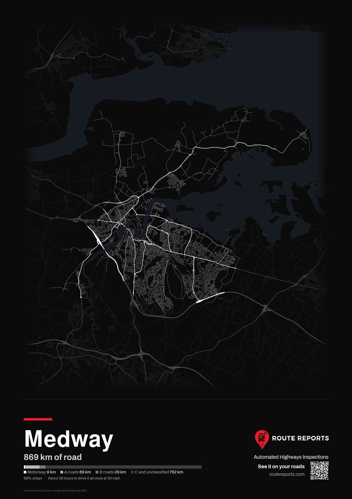
869 km of road. 69% urban. About 18 hours to drive it all once at traffic speeds.
Every one of these roads can be inspected automatically from the vehicles you already run. A camera about an inch square sits behind the rear-view mirror and captures surface defects as the vehicle drives. Each defect is mapped with a photo and a location for your inspectors to review.
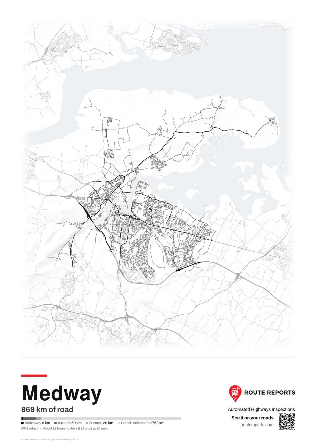
Every road in the council area, drawn from Ordnance Survey open data. Click the poster to see it full size. Framed A3 print, black or white, posted to your office.
869
km of road
9
km of motorway
69
km of A roads
29
km of B roads
762
km of C and unclassified
31
percent rural
18
hours to drive it all once at traffic speeds
Road lengths from the Department for Transport road length statistics (RDL0202a).
30 minutes
to fit a device to one of your vehicles. No survey vehicle, no extra driver.
PAS 2161
DfT approved road condition data from the same drives.
Tens of thousands
of pothole repairs made from platform detections.
Used by Essex Highways, Surrey County Council, Northumberland, Lancashire, Cambridgeshire and West Berkshire councils, and Kier (Northamptonshire Highways), with more customers deployed across the UK and US.